Free Photo Location Mapping: Visualize Your Image Locations

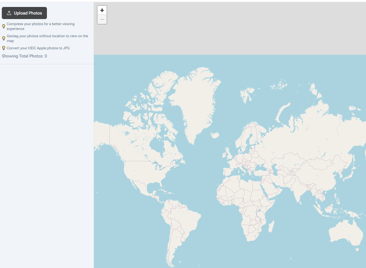
Want to see where all your photos were taken on a map? Our free photo mapping tool at Warpbin helps you visualize and explore your photo locations with an interactive map interface, all while maintaining your privacy.
Why Map Your Photos?
🗺️ Visual Story Telling
- See your photo journey
- Track travel routes
- Create visual memories
- Document adventures
- Share experiences
📍 Location Intelligence
- Discover photography patterns
- Find favorite spots
- Plan future shoots
- Organize by location
- Track photo coverage
🌍 Travel Documentation
- Map your journeys
- Create travel guides
- Plan future trips
- Share destinations
- Build location archives
How It Works
- Visit Warpbin's Photo Mapping Tool
- Upload your geotagged images
- See them instantly plotted on the map
- Explore your photo locations
- Share your photo map
Key Features
🔒 Privacy First
- Browser-based processing
- No server uploads
- Local data handling
- Secure operation
- Complete privacy
🎯 Interactive Mapping
- Zoom and pan
- Cluster viewing
- Location details
- Photo previews
- Custom markers
📸 Photo Management
- Batch processing
- Location grouping
- Timeline view
- Distance calculation
- Route visualization
Professional Applications
1. Photography Business
- Show shooting locations
- Map client sessions
- Document venues
- Track favorite spots
- Plan photo walks
2. Travel Photography
- Document journeys
- Create travel guides
- Map expeditions
- Plan routes
- Share adventures
3. Real Estate
- Map property photos
- Show listing locations
- Document neighborhoods
- Area coverage
- Location scouting
Advanced Features
Location Clustering
- Group nearby photos
- Reduce map clutter
- Easy navigation
- Quick overview
- Detailed zoom
Timeline View
- Chronological mapping
- Date filtering
- Time-based routes
- Journey tracking
- Historical view
Distance Tools
- Calculate photo distances
- Plan routes
- Track coverage
- Measure journeys
- Area analysis
Best Practices
1. Photo Organization
- Group by location
- Use consistent naming
- Add descriptions
- Tag important spots
- Document details
2. Mapping Strategy
- Start with overview
- Use clustering
- Plan routes
- Mark highlights
- Document patterns
3. Sharing Tips
- Consider privacy
- Select key locations
- Create focused maps
- Add context
- Share securely
Technical Details
Supported Formats
- JPEG/JPG with GPS data
- PNG with location metadata
- TIFF with geotags
- Multiple file support
- Batch processing
Map Features
- Multiple map styles
- Custom markers
- Info windows
- Location search
- Distance tools
Common Use Cases
- Travel Documentation
- Map journeys
- Track routes
- Document stops
- Share trips
- Plan future travels
- Professional Photography
- Location scouting
- Client sessions
- Portfolio mapping
- Coverage analysis
- Location marketing
- Personal Projects
- Life mapping
- Memory collection
- Adventure tracking
- Location history
- Photo organization
Frequently Asked Questions
Do my photos need to be geotagged?
Yes, photos need location data to be mapped. You can add location data using our geotagging tool.
Can I map multiple photos at once?
Yes! Upload multiple geotagged photos to see them all on the map simultaneously.
Is there a limit to how many photos I can map?
No limits! Since processing happens in your browser, you're only limited by your device's capabilities.
Can I save my photo maps?
Yes, you can save and share your mapped photo locations.
Is it safe to use this tool?
Absolutely! All processing happens locally in your browser - your photos never leave your device.
Privacy and Security
Our commitment to your data:
- No cloud storage
- Local processing only
- Private operation
- Secure handling
- Complete control
When to Use Photo Mapping
Perfect for:
- Travel documentation
- Photography business
- Location scouting
- Event coverage
- Adventure tracking
- Property showcasing
- Photo organization
Ready to Map Your Photos?
Visit our Free Photo Location Mapping Tool now and start visualizing your photo locations. No registration required, no data uploads, just simple and effective photo mapping when you need it.


